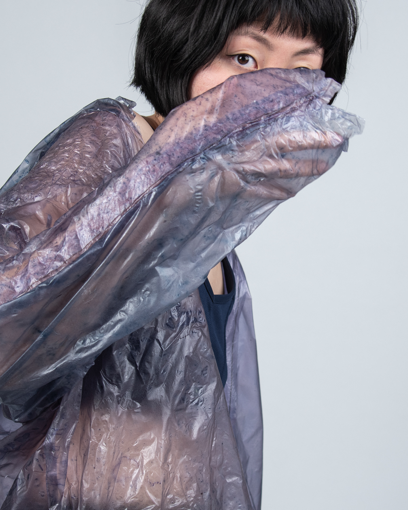
OBJECT: TERRAFORMING OF THE TAKLAMAKAN DESERT.
LOCATION: NORTHWEST OF CHINA, PROVINCE OF XINGJANG.
It is often referred to as the “desert of death”, “Sea of Death” or the “place of no return”, to give you the idea of the high danger of Taklamakan desert, which manifests itself by sand storms and drought, poisonous snakes and extreme weather.
The lowest temperatures reach -28° Celsius. The rivers freeze, and can generate a thin layer of snow covers the sand dunes. In the summer, The highest maximum temperatures are 40°.
85 percent of the total area consists of mobile sand dunes. Tazhong Township represent the only permanent population, where oil workers and scientists have brought life to the desert after decadesʼ efforts in the 1990s, thanks to The Tarim Oil Field Branch of China National Petroleum Corporation that settled a work zone here.
Since then, the “heart of the desert” started beating, showing vitality and hope. In 2015, Tazhong Township was established.
The land is evaluated for the purpose of future projects of terraforming. Indeed, the act of taming the desert in order to gain liveable space is essential to there survival. However, for a successful colonisation of the desert, a perfect balance needs to be found. The hostility of a desert is never to underestimate.
The Tarim Desert Highway Shelterbelt, built between 1993 and 1995 to access the regionʼs vast oil reserves, crosses the hinterland of the Taklamakan desert for nearly 550 kilometres. First, the highway was bordered by only a sand catching checkerboard mesh of straw in order to protect the road from encroaching desert sand dunes. In a later stadium, parts of the road were planted with a single species shelterbelt, built under the auspices of the 3- North Shelterbelt Program. After years of testing more species where introduced like Calligonun, Haloxylon and Tamarix.
The artificial forest of the shelterbelt is irrigated by underground saline water containing 3-30 milligrams per litre of mineral degrees. In 2006, the shelterbelt was studied for its ecological stability in order to better manage the artificial ecosystem. Results show that its stability can be increased by adjusting stand structure and improving the nutrient cycle.
VISUALISATION OF TERRAFORMING
Modernity is a dream, and like dreams it is far from the ground and the reality of the place where it take shape. Floating utopia, the blob is the subjective representation of the very fragile balance generated by terraforming projects,
paroxysm of modern thinking. It modifies itself according to the evolution of the land that is captured in the timelapse of the satellite pictures. To terraform a land, to make it viable - here not for life but for fossil fuels exploitation - it requires a profound change in the local environment and the provision of external elements. Through the great scientific machinery and its imagination, vegetation, Humans and water interact in perfect balance to make exploitation of the Taklamatanʼs ressource achievable.
But what happens when an element takes over? When the water supply disrupts the financial equilibrium installed? Or when propaganda is no longer sufficient to cover the dangerousness of the project? The artificiality of the project revealed itself, the balance is then broken, and as soon as it is formed, the oasis disappears.
Collaboration with Anna Oberthaler and Elsa Rambaud
